Анлайн версія аўдыягіда "Лідскі замак"
Інтэрактыўная карта станаўлення Беларусі
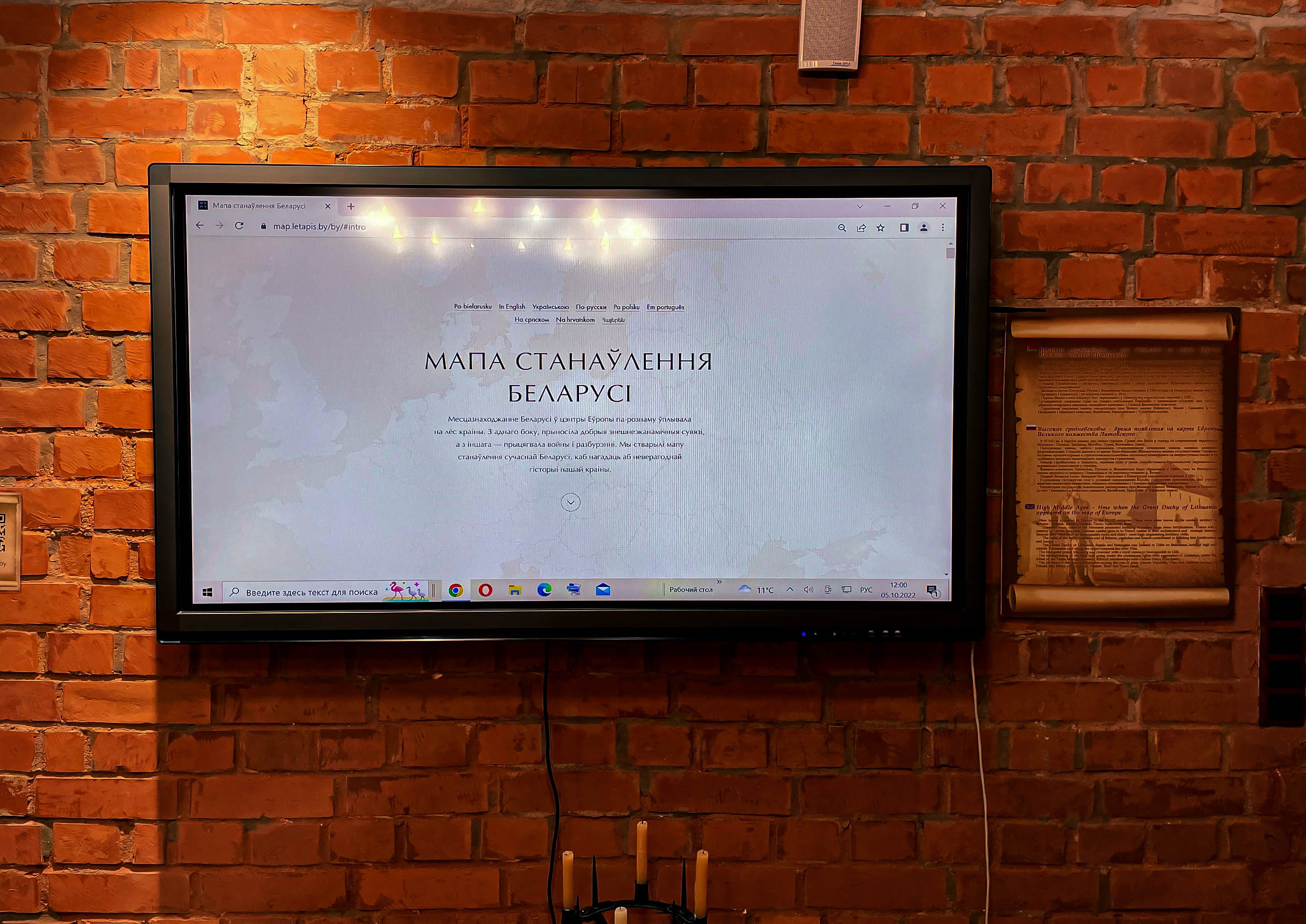
Унікальная інтэрактыўная распрацоўка створана ў рамках праекта “Мапа станаўлення Беларусі”. На вэб-старонцы размяшчаецца сістэматызаваны спіс, у якім указаны ключавыя даты, падзеі, імёны важных дзяржаўных дзеячаў. Пачынаецца ўсё з моманту зараджэння першых дзяржаўных утварэнняў на тэрыторыі Беларусі і заканчваецца станаўленнем незалежнай Рэспублікі Беларусь.
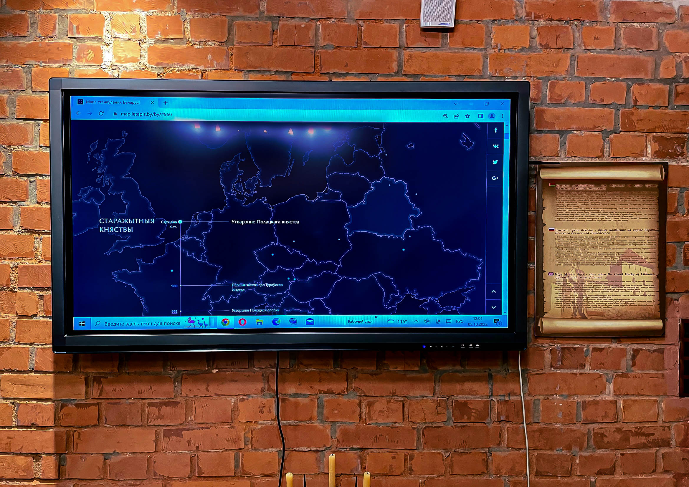
На карце можна прасачыць каля шасцідзесяці гістарычных змяненняў дзяржаўнай мяжы з указаннем найважнейшых падзей. Гісторыя праходзіць праз усе палітычныя ўтварэнні на нашай тэрыторыі: Полацкае і Тураўскае княствы, Вялікае Княства Літоўскае, Рэч Паспалітая, беларуска-літоўскія губерніі ў складзе Расійскай імперыі, Беларуская Народная Рэспубліка, Сацыялістычная Савецкая Рэспубліка Беларусь, Літоўска-Беларуская Савецкая Сацыялістычная Рэспубліка, Беларуская Савецкая Сацыялістычная Рэспубліка і Рэспубліка Беларусь. На храналагічнай стужцы адзначана каля 170 важных дат, па якіх можна прасачыць усю гісторыю краіны за названы перыяд.
Аўтар праекта – дызайнер Аляксей Чаранкевіч. Карту можна паглядзець і ў інтэрнэце, перайшоўшы па спасылцы або адсканаваўшы QR-код.